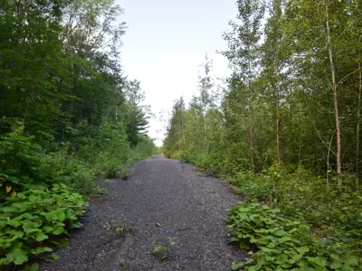
Chamberlain Trail

This trail travels through a mixture of hardwood forest, open meadow and picturesque neighbourhoods; from peaceful forests and craggy rock cuts to well-manicured lawns and flowerbeds.
Trail Information
- Trailhead 1- located at the junction of Muskoka Road North and Chamberlain Rd, approximately 1.7km north of the Gravenhurst Post Office at the Town Centre.
- Trailhead 2- located on Blanchard St across from Lisa Lane
Accessibility Information
Trail Surface: uneven natural earth, barren rock, asphalt, sidewalk
Trail Width: Avg. 1.0m, Min. 0.5m
Typical Grade is 1 - 5 % (36% of the trail is +/- 1%, 161m of the trail is between 10 - 15%)
Cumulative Change in Elevation (clockwise)
Gain + 48.2m Loss - 43.8m
Contact Us
Parks and Trails
705-687-3412
parks-trails@gravenhurst.ca
3 - 5 Pineridge Gate,
Gravenhurst, ON P1P1Z3
